Smoky Mountains National Park
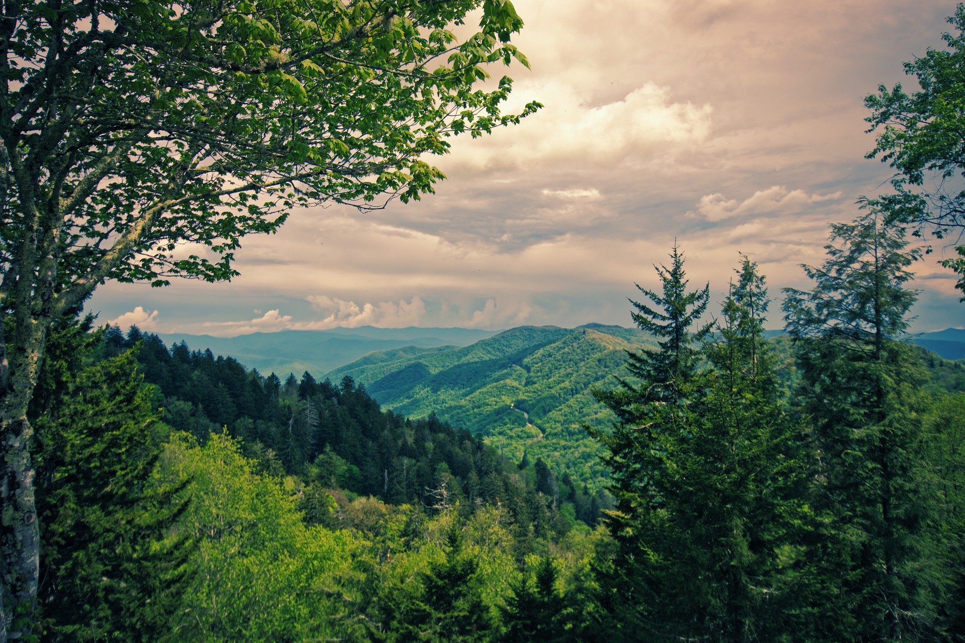
Great Smoky Mountains National Park is an American national park in the southeastern United States, with parts in Tennessee and North Carolina. The park straddles the ridgeline of the Great Smoky Mountains, part of the Blue Ridge Mountains, which are a division of the larger Appalachian Mountain chain. The park contains some of the highest mountains in eastern North America, including Clingmans Dome, Mount Guyot, and Mount Le Conte. The border between the two states runs northeast to southwest through the center of the park. The Appalachian Trail passes through the center of the park on its route from Georgia to Maine. With 12.5 million visitors in 2019, the Great Smoky Mountains National Park is the most visited national park in the United States.[5]
Newfound Gap
Also known as notches or passes, gaps are the low points in a mountain ridge. Newfound Gap, which sits at an elevation of 5,046 feet, is the lowest drivable pass in the park. Scenic, 31-mile Newfound Gap – U.S. Route 441 – runs through the center of the park from the Sugarlands Visitor Center near Gatlinburg, Tennessee, over the mountains and into Cherokee, North Carolina. Mile markers denote several interesting attractions along the way, including Newfound Gap, Mingus Mill, the Oconaluftee Visitor Center and Mountain Farm Museum, and the Smokemont Campground and Nature Trail.
Sugarlands Visitor Center
According to recent travelers, the Sugarlands Visitor Center should be your first stop in the park. The visitor center features extensive natural history exhibits and screens a free 20-minute film about the park. The center also houses a bookstore, a gift shop, restrooms and a variety of information including trail maps. There are also several ranger-led programs offered seasonally.Recent visitors recommended picking up both driving and trail maps here, and many commented on the excellent displays in the wildlife exhibit.
Roaring Fork Motor Nature Trail
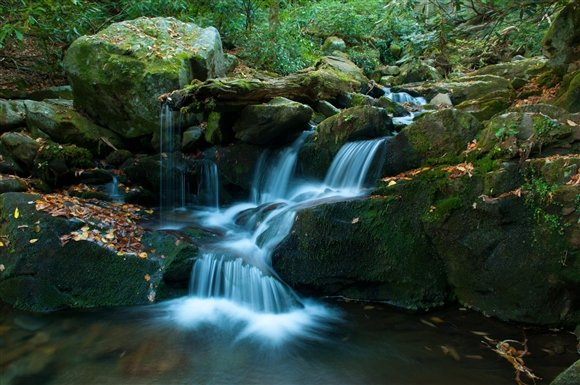
The Roaring Fork Motor Nature Trail, a nearly 6-mile-long, one-way loop road, offers spectacular mountain scenery and access to two of the region's most popular waterfalls: Rainbow Falls and Grotto Falls. You can actually walk behind the 25-foot high falls at the Grotto via the Trillium Gap Trail. You'll also see historic log cabins and the remains of a mountain village, the Roaring Fork Cemetery and an array of wildlife from birds and deer to black bears.
Cades Cove
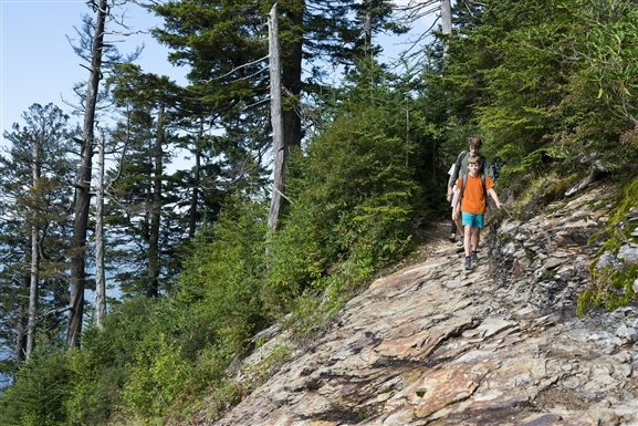
Cades Cove is an isolated, fertile valley that was once home to many of the early Southern Appalachian settlers. You'll see 18th- and 19th-century cabins, three churches and a working grist mill, as well as other historic outbuildings. The 11-mile, one-way loop road circles the Cades Cove valley and is one of the best places in the park to view wildlife. Once a hunting ground for the Cherokee Indians, the area is now home to deer, black bears and wild turkeys. Several hiking trails, including one to Abrams Falls, begin here. Longer hikes, including Thunderhead Mountain and Rocky Top, also start here, but are better suited for experienced hikers.
Clingmans Dome
Clingmans Dome is not only the highest point in Tennessee, but also in the park itself. On a clear day, you may be able to see more than 100 miles. Take a jacket along – even in the summer – as temperatures at the 6,643-foot peak will be much colder than those in the lower elevations. There are several scenic pullouts along Clingmans Dome Road, which ends in a parking area at the trailhead. The trail is paved, but very steep, and leads to an observation tower at the summit. There are also several other trails that start at Clingmans Dome Road and its parking area, including the Appalachian Trail, which crosses Clingmans Dome and is the highest point along its route from Georgia to Maine.
Load More